K-State scientists use AI mapping technology to preserve our beloved Kansas prairies.
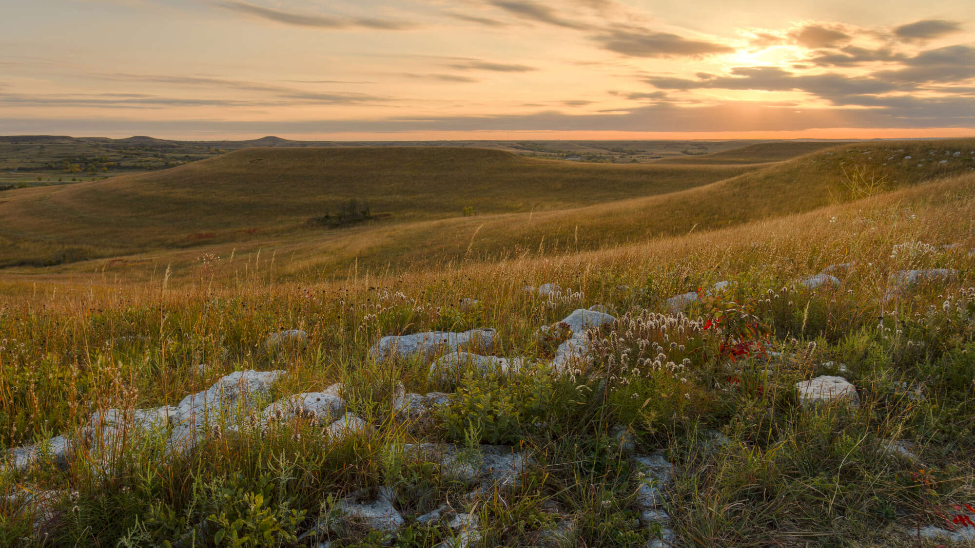
The rolling Flint Hills is the largest remaining stretch of tallgrass prairie in the entire world, but it used to be even bigger.
Now woody shrubs and trees are threatening to turn the entire landscape from grassland into woodland and shrubland. Thankfully, Kansas State University scientists are on the path to preventing the spread with new AI mapping technology.
Mapping machine
The new technology maps in detail different kinds of woody vegetation affecting prairies. The scientists “train” the computer by feeding it information about the characteristics of trees and shrubs that are a threat: wild plum, roughleaf dogwood, smooth sumac and especially the quickly spreading eastern red cedar.
“You have to give it lots of samples,” Zak Ratajczak, assistant professor and grassland biologist at K-State, said. “Then it figures out what the general characteristics are of eastern red cedar based on height and how it absorbs and reflects different types of light back to the camera.”
Once they know the locations and severity of invasive species, scientists can better predict and even eradicate the spread. This will help conserve precious prairie grasses and protect the many decreasing grassland bird species.
“If you can catch encroachment (the spread of woody plants) when it’s in the early stages,” Ratajczak said, “it’s potentially easier to either halt or reverse using prescribed fire.”
Without trees and shrubs overtaking so much space, the Flint Hills could grow about a billion more pounds of grass annually.
How did invasive vegetation in Kansas become such a big problem?
When America was being colonized, settlers began to plant trees for their homesteads and windrows. Native Americans were no longer able to perform as many controlled burns. And the increase of carbon dioxide in the atmosphere since the industrial revolution [AR8] has also helped the growth of woody and invasive plants.
The only way to decrease the spread of harmful plants and preserve the grassland swaths of the Flint Hills is to identify the problem areas and treat them accordingly. K-State’s new AI mapping system is an influential first step.
By Kate Ellwood
Curated from Kansas scientists put AI to work in the fight to save the Flint Hills tallgrass prairie